
India has formally recognized 27 locations and geographical features in Arunachal Pradesh on the Survey of India’s official map, strengthening its territorial claims amid ongoing infrastructure development along the India-China border. The Indian government’s decision is seen as a response to China’s claim that Arunachal Pradesh is part of China. The Home Ministry shared this information on Friday.
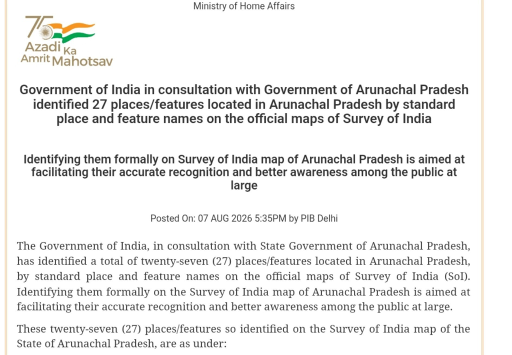
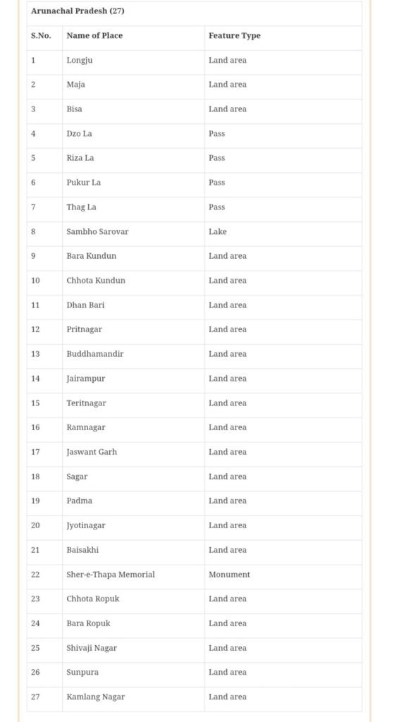
The list includes strategic locations such as
Longju, Maja, and Bissa; mountain passes such as Thag La, Zo La, Riza La, and Pukur La; the high-altitude lake Sambho Sarovar; and the Sher-e-Thapa Memorial.
Home Ministry officials stated that the move is aimed at ensuring a proper and definitive recognition of Arunachal Pradesh and responding to China’s repeated attempts to rename places in the region. Analysis of satellite imagery by independent monitors shows that China is building roads, camps, and other infrastructure near Jari in the disputed area.
The area where India is changing the names of 27 places falls under the Indian-administered territory under the McMohan Line, but it was under Chinese control since 1959. Both these developments highlight the ongoing dispute related to infrastructure and maps on the Line of Actual Control (LAC), on which India says that such attempts at changing names and construction work cannot change the reality on the ground.